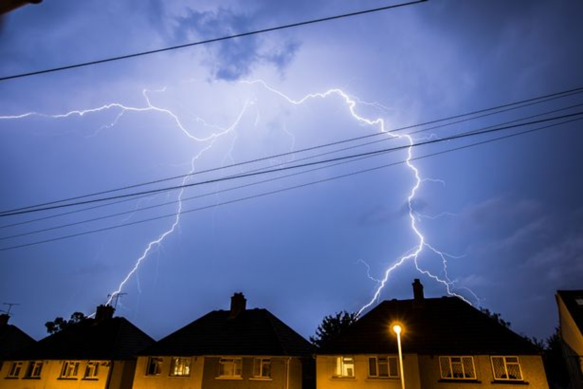
- Biblical-sized floods are poised to hit the UK; some areas are already seeing severe lightning storms.
- The majority of the UK experienced torrential rain and thunderstorms on October 23, in sharp contrast to the 42°C records reached earlier this year.
- The Environment Agency even issued 30 flood warnings in the midlands while issuing a yellow thunderstorm over London.
Biblical-sized floods are poised to hit the UK; some areas are already seeing severe lightning storms. The majority of the UK experienced torrential rain and thunderstorms on October 23, in sharp contrast to the 42°C records reached earlier this year.
The Environment Agency even issued 30 flood warnings in the midlands while issuing a yellow thunderstorm over London. But even though the warnings only applied to the southern part of the nation, the rest of it has seen terrible weather.
[embedpost slug=”uk-yellow-weather-warning-is-issued-for-thunderstorms/”]
Journalist James Fitzgerald tweeted: “It’s rather fitting that amid a political and economic s**tshow an apocalyptic storm descends on London – it looks angry.” And fellow hack Tom Seymour posted: “Just what we need and deserve – an Old Testament storm in London.” The storms featured huge bouts of lighting and thunder. Tech expert Kate Bevan was not a fan. She tweeted: “faaarking h*ll, that was a big ol’ flash of lightning followed by a very noisy thunderclap.”
The Met Office reports that heavy rain and thunderstorms in the southern and eastern parts of England will gradually clear over the course of the next 24 hours across most of the country. This will leave many areas with a mixture of clear spells and scattered sharp showers, which will be concentrated in the west and close to the southern coasts.
[embedpost slug=”heavy-rain-to-continue-in-uk-after-floods-sparked-disruption-on-roads/”]
Some central inland locations will also become foggy, which is ideal as you approach the spookiest season of the year and are compelled to view bonfire night celebrations.
The wettest weather is predicted to strike western areas, and there is a potential of some larger bursts or isolated thunderstorms as rain is forecast to move north through the day on Friday as we approach the conclusion of this week and the beginning of the next.