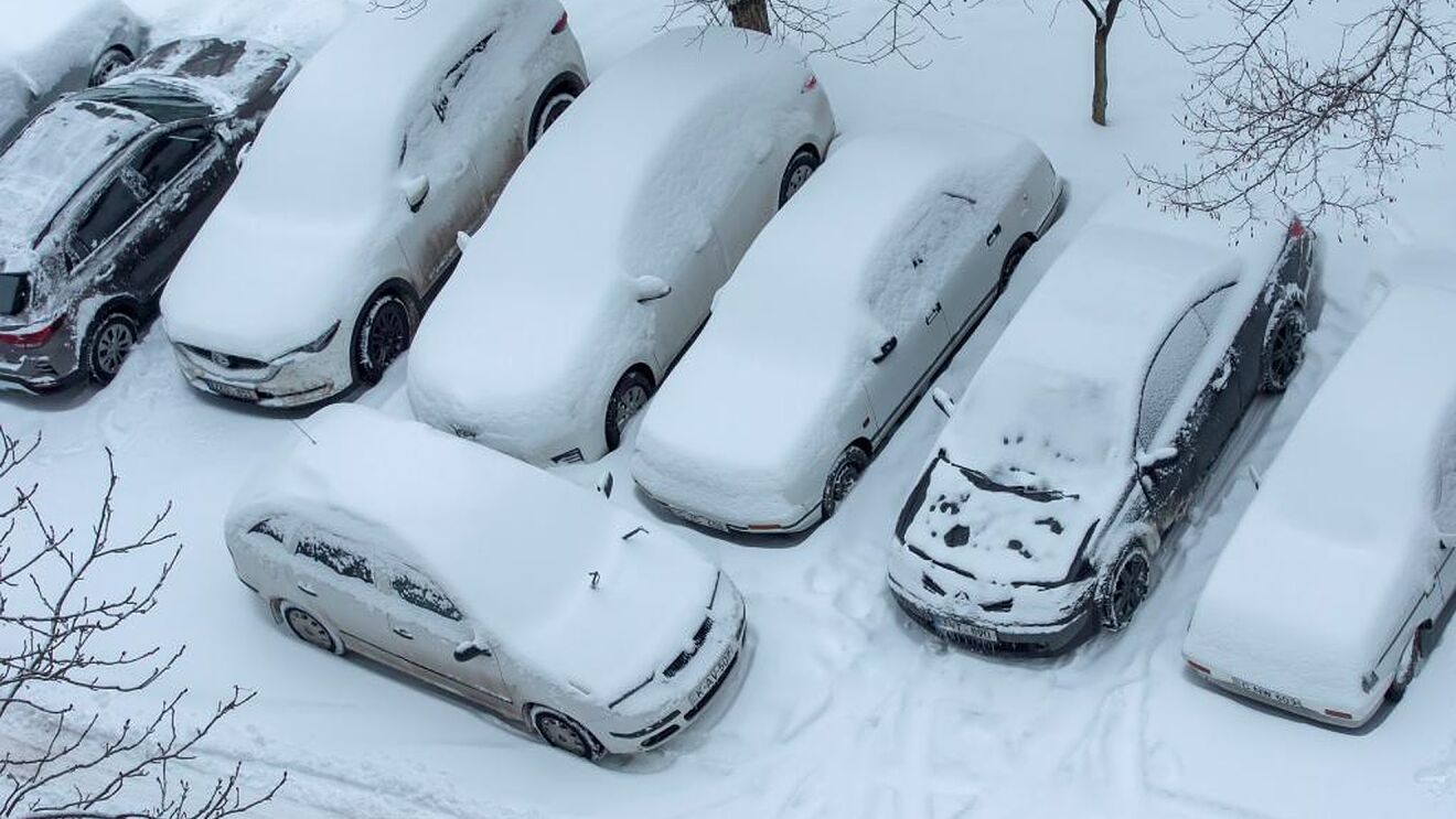
A winter storm warning has been issued ahead of two days of snow, which could amount to a foot and a half in some areas of the state.
The storm warning extends from Minnesota’s western to eastern borders, with Minneapolis and St. Paul at the southern limit of the warning area, which extends as far north as Duluth and the north shore.
The alert is in force for some of the worst-affected areas of the state from 6 a.m. Monday through midnight Wednesday, however it does not apply to the Twin Cities until 3 p.m. Monday.
Here’s what the warning says:
“A long duration snowfall event will cause travel impacts across the region beginning late tonight and lasting through Tuesday. The heaviest snow will fall along an east, west line across central Minnesota into northern, namely along and north of a line from Madison to St Cloud to Hayward.
“Snowfall amounts in this region are likely to be in the 10 to 14 inch range, with locally higher amounts possible. The snow will begin late tonight [Sunday], and most of this snow will fall on Monday.”
The heaviest area of snow will then lessen and spread late Monday and into Tuesday before coming to an end Tuesday evening.
The Twin Cities, which are south of the Madison-Hayward line, will get less snow on Presidents Day and will instead receive the most of its precipitation on Tuesday, when “most sites will have 3 to 6 inches from Monday night through Tuesday evening.”
The NWS has issued a travel advisory, stating that the snow will be “lighter and more fluffy,” but conditions will be aggravated by gusts of 20-25 mph, resulting in blowing and drifting snow.
Here’s the most recent snow forecast from BMTN’s Novak Weather.


