- On Sunday, Typhoon Nanmadol is anticipated to make landfall on Kyushu Island.
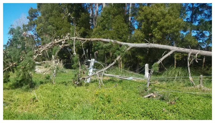
- Winds might gust as high as 270 km/h (168 mph), and some regions could receive 500 mm (20 inches) of rain in a single day.
- There is a “special alert” in effect for Kyushu, including flood and landslide warnings.
In Japan, hundreds of thousands of people have been ordered to leave their homes because of “unprecedented” storm dangers. On Sunday, Typhoon Nanmadol is anticipated to make landfall on Kyushu Island.
Winds might gust as high as 270 km/h (168 mph), and some regions could receive 500 mm (20 inches) of rain in a single day. There is a “special alert” in effect for Kyushu, including flood and landslide warnings. Flights and train services have been cancelled.
With a population of nearly 13 million, Kyushu is the southernmost of the four islands that make up the main body of Japan. The Okinawa Prefecture, which consists of the smaller, more isolated islands in the East China Sea, has never before issued a specific notice to the general public.
The storm is anticipated to shift northeast after making landfall and proceed up across central Japan into Tokyo. Additionally, it is anticipated to keep most of its strength long after touching down.
On Saturday, a meteorological office representative from Japan informed reporters that there was a chance for record rainfall, strong waves, storm surges, and exceptional storms. The official went on to say that Typhoon Nanmadol might be worse than both Typhoon Jebi, which killed 14 people in 2018, and Typhoon Hagibis, which severely disrupted power supplies in 2019.
Additionally, the agency advised citizens to take shelter in strong structures since certain residences, particularly in southern Kyushu, might be at risk of collapsing.
[embedpost slug=”super-typhoon-near-okinawa-japan-is-the-strongest-storm-yet/”]