- Much of the interior Northeast and New England were under winter alerts.
- Raw, cold rain pounded metropolitan cities along I-95 during the morning commute.
- Northern Maine is anticipated to get snowed in through late Saturday and Sunday morning.
Much of the interior Northeast and New England were under winter alerts Friday morning.
Raw, cold rain pounded metropolitan cities along I-95 during the morning commute, while snow, sleet, and freezing rain coated the interior of Northeast and New England.
Northern Maine is anticipated to get snowed in through late Saturday and Sunday morning.
The Adirondacks, Green Mountains, and White Mountains could get up to 24 inches of snow.
As the storm moves north and east, frigid winds from Canada will blow over the Great Lakes and dump snow on lakes Erie and Ontario into the weekend.
This lake effect storm won’t deliver as much snow as the November event, but Buffalo could still get 15 to 22 inches.
Already 18 inches over normal.
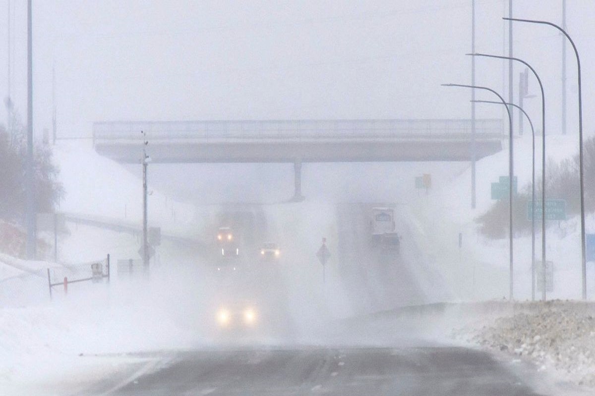
While the Northeast and New England deal with the storm, the Plains enter their third day of blizzard conditions.
In eastern Montana, the Dakotas, and northern Nebraska, 1 to 3 inches of snow and 50 mph winds may cause whiteout conditions and risky travel until Friday evening.
“Storm Alley” is no stranger to snow and wind, but this blizzard was especially fierce. 3 to 4 feet of snow covered these places over several days. Bismarck, North Dakota, is having its snowiest season ever.
Friday night, the snow and winds should finish.
[embedpost slug=”winter-storm-kills-3-in-louisiana”]