- The RTA and the National Centre of Meteorology collaborate to enhance the collection of weather forecast information.
- The system includes a GIS Map to identify water accumulation areas and pump sites.
- The CITADEL communication platform provides real-time information about ongoing activities.
The Roads and Transport Authority (RTA) in Dubai has initiated a Joint Flood Management Room, employing technologies such as weather forecasts, surveillance cameras, and heat maps to monitor water accumulation and traffic during heavy rains. This proactive approach has resulted in faster decision-making regarding the deployment of teams and allocation of resources, leading to a notable 36% improvement in response and recovery times.
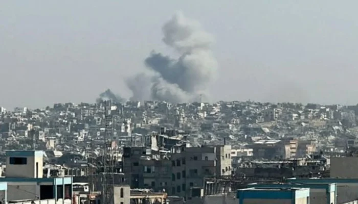
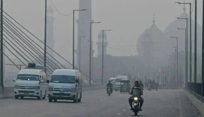
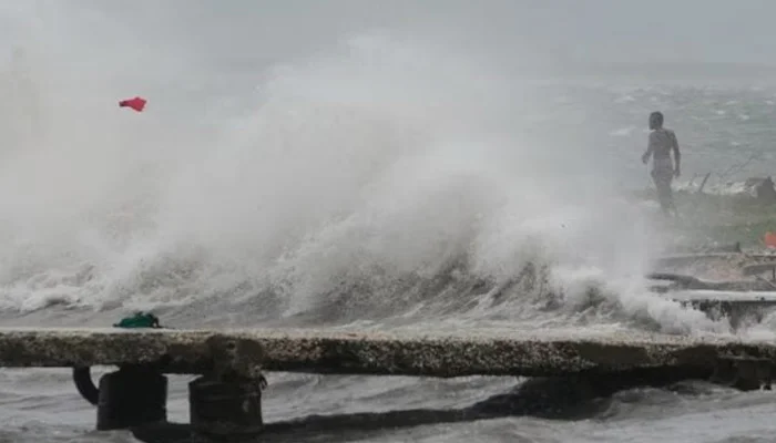
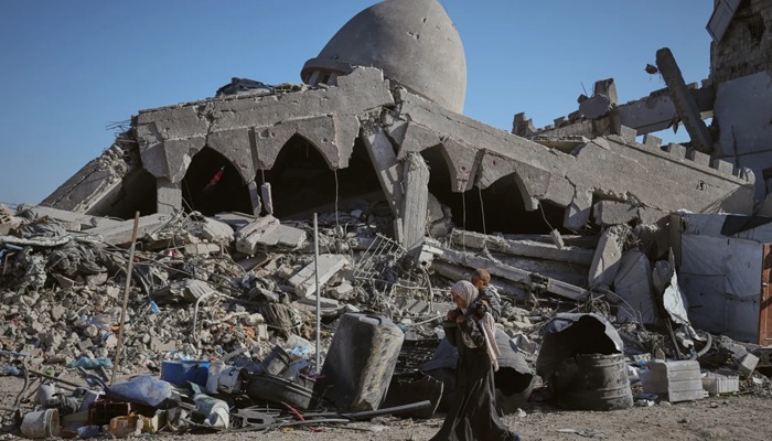
In November of the previous year, heavy rains caused significant flooding on major roads in the emirate, resulting in delays of up to six hours, particularly in low-lying areas. The inundated streets and rainwater pools also inflicted damage on numerous vehicles. Historically, rainfall in the country has consistently posed substantial traffic challenges, especially for those commuting between emirates.
Weather forecast:
The RTA and the National Centre of Meteorology (NCM) are collaborating to enhance the collection of weather forecast information. This collaboration aims to elevate the preparedness of relevant teams in managing water accumulations during heavy rain and promptly disseminating messages to the public.
The authority has assembled a team comprising representatives from various entities to develop a comprehensive response plan for addressing weather fluctuations. Employing several technologies, it seeks to improve the effectiveness of response and reduce recovery time for water accumulations resulting from heavy rain on major roads across Dubai. These systems include:
Heat map (GIS Map):
This process will identify areas of water accumulation and highlight the locations of pump sites and resources belonging to participating entities.
Video wall screen:
Live footage from 450 surveillance cameras covering 91% of the identified areas with rainwater ponds on the city’s main roads will be displayed.
CITADEL communication platform:
This platform will offer supervisory and field teams necessary real-time information about the status of ongoing activities.
Mobile command vehicle (MCV):
Surveillance cameras connected to the control room will equip it, enabling direction to cover areas not monitored by surveillance cameras.
[embedpost slug=”dubai-bound-flight-faces-6-hour-delay-as-passenger-opens-cabin-door-to-do-suicide/”]